|
Thumbnail |
Title |
Category |
Data Source |
Resource |
|
 |
Biologically Unique Landscape (NE) |
Land Status |
NE Game and Parks Commission |
|
|
Abstract:
This metadata record describes a shapefile depicting Nebraska's Biologically Unique Landscapes (BULs) and one Migratory Bird Landscapes (MBL) as identified in conjunction with the development of a comprehensive wildlife conservation plan (Schneider et al 2005, aka the Natural Legacy Plan, and its subsequent revision in 2010/2011) for the state.
Metadata File
Publication Date: February 2011 -
Data last updated: 2011-09-21
|
|
 |
Conserved Land (ME) |
Land Status |
ME Department of Conservation Bureau of Parks and Land; et al. |
|
|
Abstract:
This layer displays conserved lands that contain conservation lands ownership boundaries at 1:24,000 scale for Maine land in federal, state, municipal, and non-profit ownership with easements.
Metadata File
Publication Date: April 2015 -
Data last updated: 2015-08-27
|
|
 |
National Trail |
Land Status |
Argonne National Laboratory; et al. |
|
|
Abstract:
Depicts National Scenic and Historic Trails. The data have been collected from the National Park Service, United States Forest Service, Universities, and Private Organizations that oversee various trails.
Metadata File
Publication Date: November 2017 -
Data last updated: 2019-01-30
|
|
 |
Proposed Globally Important Bird Areas |
Land Status |
American Bird Conservancy |
|
|
Abstract:
This dataset displays polygon data for Proposed Global Important Bird Areas in the United States.
Metadata File
Publication Date: 2015 -
Data last updated: 2015-04-02
|
|
 |
CNHI: Landscape Conservation Area (PA) |
Land Status |
PA Natural Heritage Program - Western PA Conservancy |
|
|
Abstract:
This layer displays the Landscape Conservation Areas (LCA) identified through the County Natural Heritage Inventory project of the Pennsylvania Natural Heritage Program. County Natural Heritage Inventories (CNHIs) focus on areas that are the best examples of ecological resources in a county.
Metadata File
Publication Date: December 2010 -
Data last updated: 2011-09-21
|
|
 |
State Owned/Leased Land (LA) |
Land Status |
LA Division of Administration - State Land Office |
|
|
Abstract:
State Land and Building System (SLABS) conservation sites in Louisiana.
Metadata File
Publication Date: July 2015 -
Data last updated: 2015-08-19
|
|
 |
Globally Important Bird Areas |
Land Status |
American Bird Conservancy |
|
|
Abstract:
This dataset displays polygon data for Global Important Bird Areas in the United States.
Metadata File
Publication Date: 2015 -
Data last updated: 2015-04-02
|
|
 |
Florida Forever Board of Trustees Project Area (FL) |
Land Status |
Florida State University - Florida Natural Areas Inventory |
|
|
Abstract:
Florida Forever Board of Trustees projects. These lands have been proposed for acquisition because of outstanding natural resources, opportunity for natural resource-based recreation, or historical and archaeological resources.
Metadata File
Publication Date: July 2015 -
Data last updated: 2015-08-14
|
|
 |
National Monument |
Land Status |
Argonne National Laboratory |
|
|
Abstract:
This dataset was compiled for use as a complete set of the National Monuments administered by all federal agencies of the U.S.
Metadata File
Publication Date: 2014 -
Data last updated: 2015-08-14
|
|
 |
State Claimed Water Body (LA) |
Land Status |
LA Division of Administration - State Land Office |
|
|
Abstract:
Slow Water Bottoms in Louisiana.
Metadata File
Publication Date: July 2015 -
Data last updated: 2015-08-19
|
|
 |
Florida Conservation Land (FL) |
Land Status |
Florida State University - Florida Natural Areas Inventory |
|
|
Abstract:
This data layer is for public (and some private) lands that the Florida Natural Areas Inventory (FNAI) has identified as having natural resource value and that are being managed at least partially for conservation purposes. The term "Managed Area" refers to a managed conservation land.
Metadata File
Publication Date: June 2015 -
Data last updated: 2015-08-14
|
|
 |
Specially Designated Area - Fish and Wildlife Service |
Land Status |
Fish and Wildlife Service |
|
|
Abstract:
Depicts Specially Designated Areas administered by the U.S. Fish and Wildlife Service, including National Monuments.
Metadata File
Publication Date: December 2023 -
Data last updated: 2024-01-26
|
|
 |
Important Bird Area |
Land Status |
National Audubon Society |
|
|
Abstract:
Displays the boundaries of important bird areas in the United States.
Metadata File
Publication Date: March 2014 -
Data last updated: 2014-05-09
|
|
 |
BLM District and Field Office Boundaries |
Land Status |
Bureau of Land Management |
|
|
Abstract:
Depicts District and Field Office Boundaries for the Bureau of Land Management.
Metadata File
Publication Date: December 2023 -
Data last updated: 2024-01-23
|
|
 |
Areas of Critical Environmental Concern |
Land Status |
Bureau of Land Management |
|
|
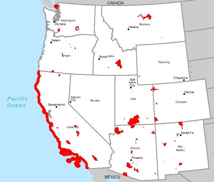
Abstract:
Depicts Areas of Critical Environmental concern administered by the Bureau of Land Management.
Metadata File
Publication Date: December 2023 -
Data last updated: 2024-01-24
|


